gnss surveys
Allegheny Surveys has utilized Global Positioning System (GPS) technology since 1997 in the performance of numerous Static-GPS Surveys for control points, aerial photo targets, gas well location and corehole location. Allegheny Surveys’ workhorse has been Trimble 4000ssi receivers for its GPS Control Network Surveys over the years and are still used today for certain projects.
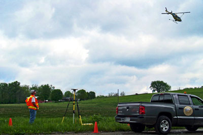
Allegheny Surveys purchased its first Global Navigation Satellite System (GNSS) Real Time Kinematic (RTK) system in 2007. ASI has several Trimble R8 GNSS RTK Systems, one of which has the capability to utilize the West Virginia Division of Highways (WVDOH) Virtual Reference Station (VRS) service, or Real Time Network (RTN). This technology eliminates the need for a Base receiver onsite and allows the units to work as independent Rovers on the RTN. Allegheny Surveys utilizes RTK technology in the performance of topographic, as-built, ground control, and pipeline surveys. RTK is also used for construction stakeout on various projects. Both the static-GPS and RTK data are processed using Trimble Business Center software.
In addition to survey-grade GPS equipment, Allegheny Surveys also has the following mapping-grade units: two Trimble GeoXH 6000 series handhelds with external Tornado antennas and three (3) Trimble GPS Pathfinder ProXT receivers with Nomad data collectors. All the mapping-grade GPS units have Trimble’s TerraSync software installed and the GPS data are post-processed using Trimble Pathfinder Office software.


